Can you learn geography with modeling clay?
In the first year of ESO, in order to learn the physical maps of each continent, he set himself the task of creating maps with relief … using plasticine. The experience was quite fun, as well as educational.
María V. and Celia C., from 1st B, tell us:
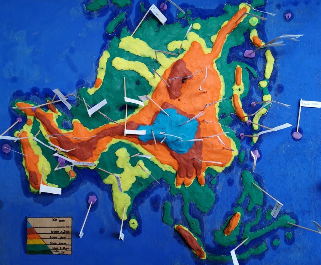
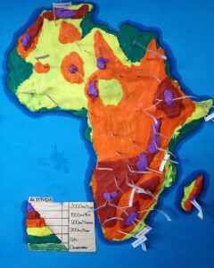
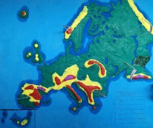
In the second quarter of 2021, our geography teacher Casilda suggested that we work on the geography of the continents in a more fun way, making the maps of the continents with the different heights with plasticine, that’s how we learned while having fun.
First we chose the continents we wanted to make, then we began to put the clay, one day we were working when one of our colleagues mistakenly threw a piece of clay, and started a clay war.
Once we had placed all the plasticine on the two maps, we began to make some flags that consisted of putting the names of rivers, mountains, depressions, seas, capes, gulfs and oceans. So we could learn the geography of each continent in a more playful way.
The last thing we had to do was prepare a presentation of each continent, the rivers, the depression, the climate, the landscapes …
It was fun and educational work at the same time. We all had a great time!


