
1st SECONDARY TOPOGRAPHIC MAP
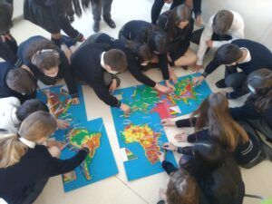
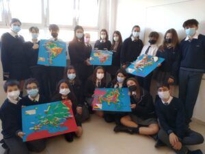
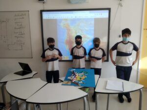
1st year Secondary students were involved in a manipulative project to learn what a topographic map is, what contour lines are and how relief is represented on a map to scale. In addition to knowing the main geographical and relief elements of the different continents, the project challenges them to solve problems of representation, scale and learn to solve problems and conflicts that arise from group work. In addition, they then present their final model orally to their classmates, and explain it to that audience. It is interesting to work on various skills and abilities of the students in such a project. The feedback of the students in general is that they enjoy and learn doing this project, although it supposes an important effort and challenge.
Casilda Mendaza
Secondary Geography Teacher


